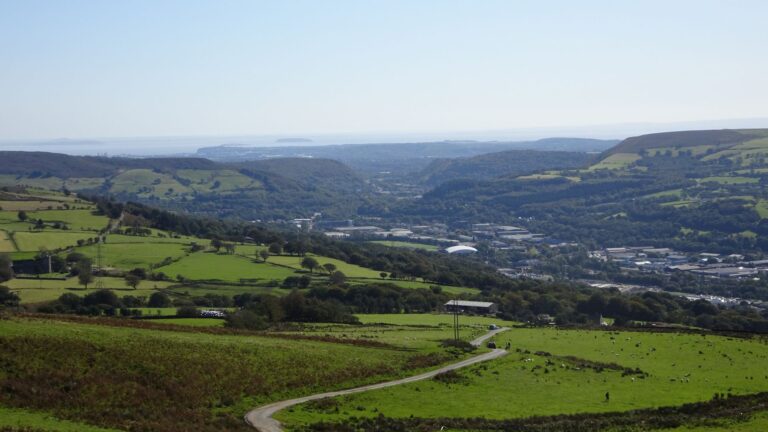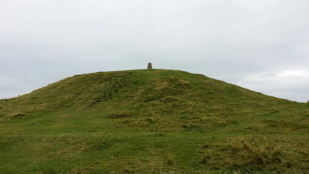
Living in Rhydyfelin has its advantages if you like walking up hills! The village is surrounded by them, and many of the tops are marked with a concrete trig pillar. Hunting them down, or “bagging” them, is a brilliant excuse to get out walking.
What is a trig point?
Trig points, or triangulation pillars, are the concrete pillars you find on hilltops all over Britain. Ordnance Survey built them to help make accurate maps.
According to the OS, the work, known as the Retriangulation of Great Britain, began in 1936. Surveyors mounted instruments on top of the pillars and measured the angles between them, building up a precise network of triangles across the country. Around 6,500 pillars were built, and the last observations were made in 1962.
Today, maps are made using satellite positioning instead, so the pillars are no longer used or maintained by the OS. Around 5,500 are still standing, and they’re much loved by walkers.
The eight nearest trig points
The distances below are straight-line distances from Rhydyfelin, so the walk will always be further. Heights are the OS heights for each pillar, rounded to the nearest metre.
1. Mynydd Meio
- Height: 321 metres
- Where: about 1.4 km east, on the hill directly above the village. The OS calls this pillar “Mynydd Mayo”.
- Access: common land with a public right of access on foot.
The closest trig point to Rhydyfelin. Our guide to walking up Mynydd Meio from Rhydyfelin has the route.
2. Mynydd Eglwysilan
- Height: 383 metres
- Where: about 2.2 km north. OS maps call the ridge Cefn Eglwysilan.
- Access: common land with a public right of access on foot.
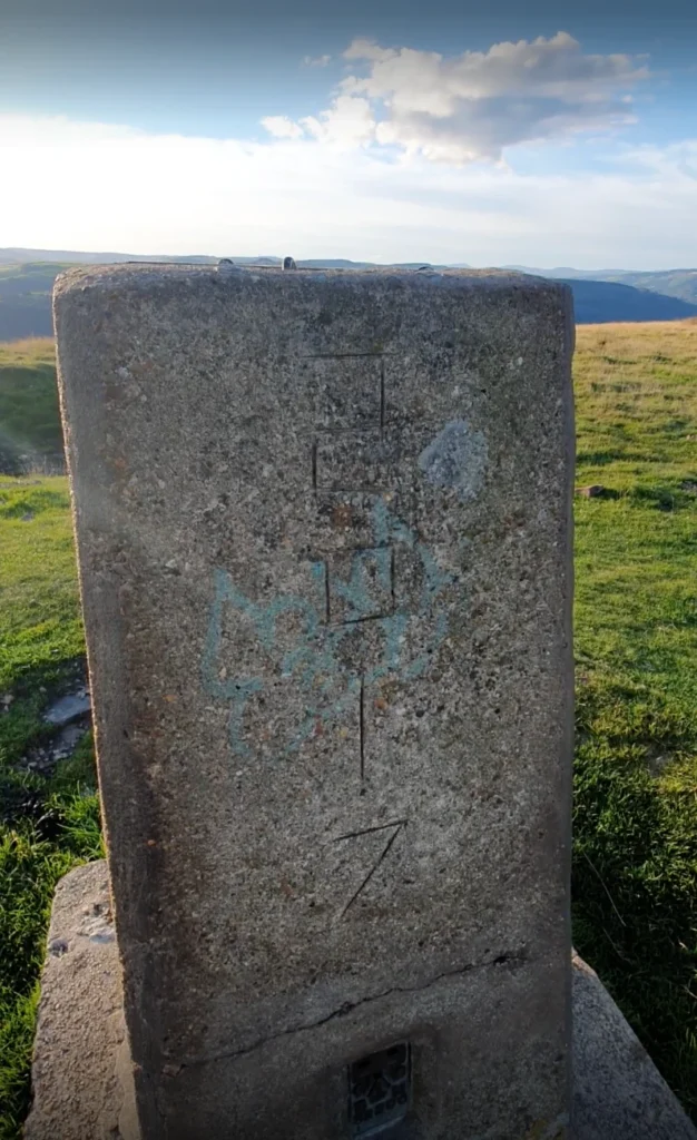
The highest of the nearby pillars, and on the route of the Pontypridd Circular. See our guide to walking up Mynydd Eglwysilan from Rhydyfelin.
3. Llantwit
- Height: 173 metres
- Where: about 3.8 km south-west.
- Access: this one is in a field, not on access land. Don’t cross private farmland to reach it without the landowner’s permission.
4. Bwlch Carn-y-Gelli
- Height: 355 metres
- Where: about 4.8 km north-north-east, further along the Eglwysilan ridge.
- Access: common land with a public right of access on foot.
Watch out for confusion here: some online maps label this high point “Mynydd Eglwysilan” too.
5. The Garth
- Height: 307 metres
- Where: about 4.9 km south, above Taff’s Well, in Cardiff.
- Access: registered common land.
The Garth is the hill you see at the mouth of the valley as you head towards Cardiff. Its summit has a row of five Bronze Age round barrows, or burial mounds, which are protected as a scheduled monument by Cadw.
6. Caerphilly Common
- Height: 271 metres
- Where: about 6 km east-south-east, on Caerphilly Mountain.
- Access: common land with a public right of access on foot.
7. Mynydd y Glyn
- Where: about 6.5 km west.
- Access: the pillar sits just outside the mapped open access land, so check your map and stick to rights of way.
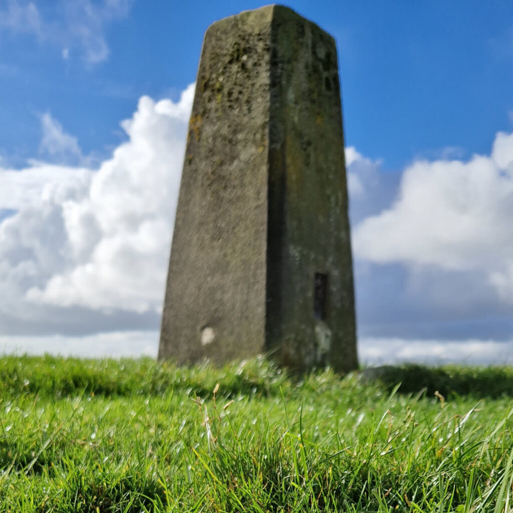
The OS doesn’t publish a height for this pillar.
8. Pen-y-Foel
- Height: 331 metres
- Where: about 6.8 km north-north-west.
- Access: we couldn’t find any access land around this one, so check your map and plan a route on public rights of way.
Bagging your trig points
- Get the right maps. OS Explorer 166 (Rhondda & Merthyr Tydfil) covers Rhydyfelin and the hills around it. For the Garth and Caerphilly Mountain, you’ll want OS Explorer 151 (Cardiff & Bridgend). Trig points are marked on OS maps with a small blue triangle with a dot in the middle.
- Log your visits. The Trigpointing UK website lets you record the pillars you’ve visited, see other people’s photos and report on each pillar’s condition.
- Respect access. Some pillars are on private land. Only go where you have a right to be, and follow the Countryside Code.
- Don’t climb on the pillars. They’re old, some are damaged, and the drop can be further than it looks.
- Be prepared. Hilltops are exposed, and the weather changes fast. Take a map, water and a waterproof, and let someone know where you’re going.
Happy bagging!