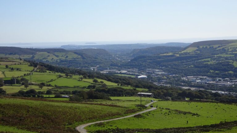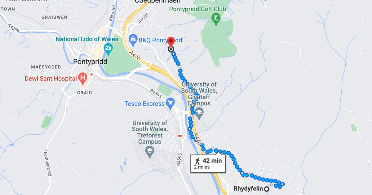
If you fancy a proper day out on the hills, the Pontypridd Circular is hard to beat. It’s a walking route set up by RCT Council that loops all the way around Pontypridd, over the hills on both sides of the valley. And the good news for us is that it passes right by the top of Rhydyfelin.
The route at a glance
- Distance: about 18 km (12 miles) for the full loop.
- Difficulty: RCT describes it as moderate to strenuous. There’s a lot of climbing: well over 700 metres of ascent in total.
- Time: allow most of a day for the full loop.
- Terrain: lanes, farm tracks, field paths and open hillside, with some stiles.
- Official start: Barry Sidings Countryside Park, though as it’s a loop, you can join it anywhere.
- Map: OS Explorer 166 (Rhondda & Merthyr Tydfil).
The route has been signposted and waymarked, but signs can go missing over time, so always carry a map or a mapping app as well.
The four sections
RCT’s leaflet splits the walk into four sections:
- Western: Barry Sidings to Maesycoed, past the Craig yr Hesg nature reserve. About 3.9 km.
- Southern: Maesycoed to Treforest. About 2.5 km.
- Eastern: Treforest to Trallwn, via Glyntaff, Hendre Prosser and the summit of Mynydd Eglwysilan. About 7.2 km, and the biggest climb of the route.
- Northern: Trallwn back to Barry Sidings. About 4.2 km.
Splitting it up is a great way to do the walk over a few outings, especially if you can use the bus or train to get back.
Joining the route from Rhydyfelin
The eastern section passes just above the village. Walk up Dynea Road to the top of the village, where it becomes a lane. After about 1.2 km you reach the junction above Glyntaff, where you join the Circular.
- Turn north to follow the route up past Hendre Prosser Farm to the summit of Mynydd Eglwysilan, at around 383 metres.
- Turn south-west to head down through Glyntaff towards Treforest.
A Rhydyfelin round
For a big day out that starts and finishes at home, join the Circular above Glyntaff and follow the eastern section north over Mynydd Eglwysilan and down towards Trallwn. From there you can take in the Rocking Stone on Pontypridd Common and the Old Bridge, then pick up the Taff Trail through Ynysangharad Park and follow it back down the valley to Rhydyfelin. Measured from mapping, a round like this is roughly 11 to 12 km with plenty of climbing, so it’s still a challenging walk. Plan your exact route on the map before you set off.
Shorter walks to try first
Not ready for the full loop? There are gentler options right on our doorstep:
- The Rhydyfelin–Treforest loop: RCT lists a flat 5 km walk on tarmac, starting from Rhydyfelin RFC. It’s a good choice for a gentle stroll.
- The Taff Trail to Pontypridd: follow the trail north through Glyntaff to Ynysangharad Park and the Old Bridge, then come back the same way. It’s about 8 km there and back, and mostly flat.
- Mynydd Meio: if you’d like a hill but not a whole day, our guide to walking up Mynydd Meio from Rhydyfelin is a shorter climb to a hilltop with a view.
Before you go
- Start early if you’re doing the full loop, and check what time it gets dark.
- Wear walking boots. The hill sections can be wet and muddy, and there are stiles to climb.
- Take plenty of water, food and a waterproof. There’s nowhere to buy anything on the hill sections.
- Expect livestock on the hills, and keep dogs under close control.
- Let someone know your route and when you expect to be back.
For buses and trains to help you get home, see our Transport guide.