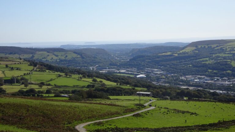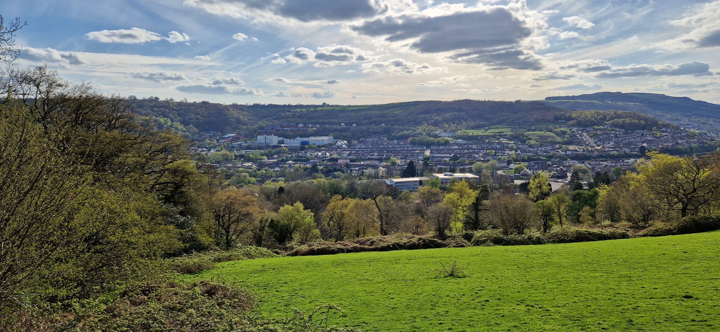
Look east from almost anywhere in Rhydyfelin and you’re looking at Mynydd Meio. It’s the hill that rises straight up behind the village, above Upper Boat and Nantgarw, and it’s one of the closest bits of open hillside you can walk to from your front door.
The top is marked by an Ordnance Survey trig pillar, which the OS calls “Mynydd Mayo”. It stands at about 321 metres above sea level. The hill is just over the border in Caerphilly county borough, and much of the hilltop is common land, where the public has a right of access on foot.
The walk at a glance
- Distance: about 2.7 km (1.7 miles) each way from the top of Dynea Road, so around 5.5 km (3.4 miles) there and back.
- Climb: roughly 240 metres of ascent.
- Time: allow around two hours there and back at a steady pace, plus time at the top.
- Terrain: a lane, field paths, a short stretch of country road and open, grassy hillside. It’s steep in places.
- Map: OS Explorer 166 (Rhondda & Merthyr Tydfil) covers Rhydyfelin and the hill.
The distance and climb are measured from mapping, so treat them as a guide. If you’re starting from the lower part of the village, add a little on.
The route
- Head up Dynea Road towards the top of the village and Dynea Caravan Site.
- Take the lane and public footpaths east from Dynea Road up to the hamlet of Eglwysilan and St Ilan’s Church. On the council’s rights of way map, these are footpaths PON 22/2, 22/1 and 23/1.
- At the church, go south along Eglwysilan Road for about 800 metres. Take care here: it’s a country road with no pavement, and traffic can be fast. Walk in single file, facing oncoming traffic.
- Leave the road on a path heading east onto the open common. The trig pillar is about 300 metres from the road.
Come back the same way. Paths across open hillside can be faint, so it’s well worth having the OS map or a mapping app with you and checking your position as you go.
St Ilan’s Church, Eglwysilan
The walk passes one of the oldest churches in the area. St Ilan’s sits in the dip between Mynydd Meio and Cefn Eglwysilan, the higher hill to the north. According to Cadw, it was first mentioned in 1254, and it stands on an even older Christian site: a carved cross slab from the 8th to 10th centuries was found in the churchyard.
The churchyard is also the resting place of William Edwards, the self-taught builder of Pontypridd’s famous Old Bridge. His tomb is listed by Cadw too.
Please remember it’s a working church and a place of rest, so be respectful as you pass through.
On the top
On a clear day you get wide views across the Taff valley and over the surrounding hills. The trig pillar is a good spot for a breather and a photo. The Rhymney Valley Ridgeway Walk, a long-distance path of around 45 km, passes both the pillar and the church, if you ever fancy going further.
Before you go
- Check the weather. It can be breezy and much colder on the top than in the village, and cloud can come down quickly.
- Wear proper footwear. The paths can be muddy and slippery after rain.
- Take water, a layer and a charged phone.
- Expect livestock. Sheep and cattle graze on the hills around Rhydyfelin. Keep dogs on a lead near animals, and leave gates as you find them.
- Follow the Countryside Code. Take all your litter home, and don’t light fires or barbecues on the hill.
For more about getting out and about locally, see our Parks guide and our guide to the wider area.