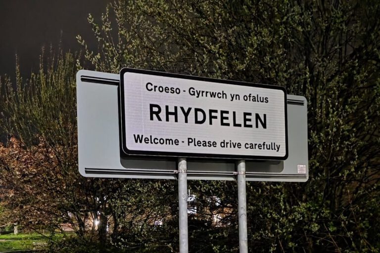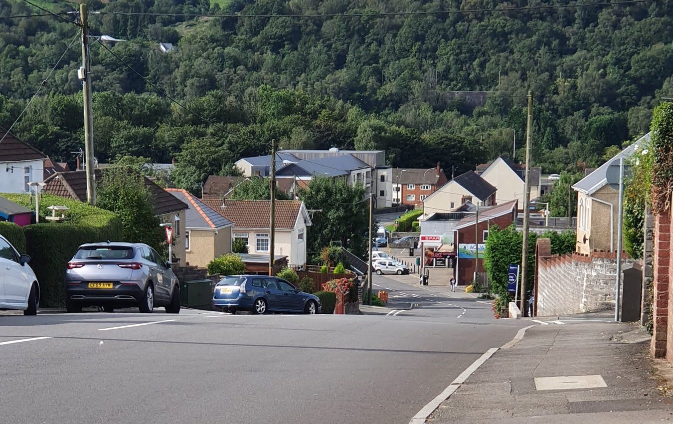
Have you ever wondered why you live on Tudor Street, Holly Street or Masefield Way? Rhydyfelin’s street names are a little history lesson in themselves. Some remember the family who owned the land, some an old chapel or farm, and whole estates were named on a theme, from trees to poets.
We’ve been through old Ordnance Survey maps, archive catalogues and old Welsh newspapers to piece together the stories. Where we’re confident, we say so. Where it’s an educated guess, we say that too. If you know more, especially if you have old deeds or family stories, we’d love to hear from you.
Francis, Tudor, Owen and friends: the Crawshay streets
The terraces of Francis Street, Tudor Street, Owen Street, De-Barri Street, Mervyn Street and Gwilym Street were built in the early 1900s. On the Ordnance Survey map of 1898 the land is still open fields, but by the 1914 map all six streets are there, along with Nant y Dall Avenue and St Luke’s Church. De Barri Street turns up in a newspaper in January 1914.
Those names will ring a bell with anyone who knows Pontypridd’s industrial history. They match members of the Crawshay family, the ironmasters who owned the tinplate works across the river at Treforest:
- Francis: Francis Crawshay (1811–1878) ran the family’s Treforest works, and his son Francis Richard Crawshay later owned it.
- Tudor: Tudor Crawshay, one of Francis’s sons, who was High Sheriff of Glamorgan in 1887.
- De-Barri: de Barri Crawshay, who owned the family’s business jointly with Francis Richard and Tudor from 1889 to 1907.
- Owen and Mervyn: Owen Tudor Richard Crawshay (born 1878) and Mervyn Crawshay (born 1881), both sons of Tudor. Mervyn was killed in the First World War, and Glamorgan Archives holds his war diary.
- Gwilym: possibly Francis Gwilym Crawshay, born in 1876, a son of Francis Richard. The evidence for this one is thinner.
So the popular local story is right, with a twist: the streets don’t just remember the tinplate owners’ children, but three generations of the family, sons and grandsons.
There’s a good reason the Crawshays’ names would end up on streets this side of the river. The family owned the land. Glamorgan Archives’ catalogue of the Crawshay papers records William Crawshay buying a 19-acre farm in Eglwysilan parish in 1834, “Tyr Glan Taff alias Tyr-pwll-nant-y-ddalt”. That farm name survives in Nant y Dall Avenue, on the same patch of ground. The family still owned the Treforest works when the streets went up, too: it was leased to other firms, but the archive records leases by Crawshays as late as 1940.
We haven’t found a document that says in so many words “these streets are named after the Crawshays”. The evidence is strong, but if you want the final proof, Glamorgan Archives holds the Crawshay estate sale particulars and rent rolls from around 1919 to 1921, which should list the streets built on their land.
Ebenezer Street and Chapel Street
Ebenezer Street takes its name from Ebenezer, a Welsh Independent chapel. According to Glamorgan Archives, it was founded in 1846 by members of the chapel at Groes-wen, who had been meeting at Ynys Farm in the village. It was rebuilt in 1896, closed in 1969, and demolished soon afterwards to make way for the rebuilt Cardiff to Merthyr trunk road, the road we now know as the A470. The 1915 map shows Ebenezer Street running up from the chapel. The street has outlived the chapel by more than half a century.
Chapel Street is almost certainly named for the same reason. The map of the 1870s shows two chapels on the main road through the village.
St Luke’s Avenue is named after St Luke’s Church, which appears on the 1914 map. You can read more about the village’s churches in our Churches & Religion guide.
Old farms and houses
Before the terraces and estates, this was a scatter of farms and big houses along the river. Many of their names live on in today’s streets. All of these places appear on Ordnance Survey maps from the 1870s or 1890s:
- Nant y Dall Avenue: from Pwll-nant-y-dall, the Crawshays’ farm.
- Dyffryn Road and its neighbours: from Dyffryn, with a Dyffryn Row and the Dyffryn Arms nearby in the 1870s. Dyffryn means valley.
- Fairfield Close and Fairfield Lane: from a house called Fairfield.
- Ynyscorrwg Road and Llys Corrwg: from Ynys-corwg.
- Ynyslyn Road: from Ynys-lyn.
- Dynea Road: from Dynea, spelled “Denia” on the earliest map.
- Hawthorn itself: from a house called White Hawthorn. Its Welsh name, Y Ddraenen-wen, means the same thing.
In place names round here, ynys usually means a meadow by a river rather than an island. That makes sense for farms on the flat land beside the Taff.
Trees: the post-war estates
Oak Street, Elm Street, Holly Street, Beechwood, Chestnut, Cypress, Maple, Sycamore, Willow and Poplar Road, plus Laburnum Terrace, Laurel Avenue, Cedar Lane and Pinewood Avenue: Rhydyfelin has a whole arboretum of street names. They’re not on the maps from just before the First World War, but they are on the map surveyed between 1958 and 1964, so these homes went up in the middle of the 20th century. Naming a whole estate after trees was a popular choice for councils and builders at the time.
Poets, English and Welsh
On the Glyntaff side of the village, the street names take a literary turn.
Shakespeare Rise, Masefield Way and Wordsworth Gardens first appear on a plan surveyed in May 1970, so that estate was built in the late 1960s. Later came Tennyson Close, Shelley Walk and Poets Close. John Masefield was Poet Laureate from 1930 until 1967. There’s also a Beyron Close, spelled that way on maps and addresses. Whether that was a nod to Lord Byron with an unusual spelling, we don’t know.
The Welsh poets are closer to home. We haven’t found a record of who chose these names, but the people they seem to remember are real, and some had strong local links:
- Brynfab Road: Brynfab was the bardic name of Thomas Williams (1848–1927), a poet who farmed at Hendre, Eglwysilan, for more than 50 years and was part of Pontypridd’s literary circle.
- Morien Crescent: Morien was Owen Morgan (around 1836–1921), a journalist who wrote a history of Pontypridd and the Rhondda.
- Ceiriog Crescent: most likely the much-loved Welsh lyric poet John Ceiriog Hughes.
- Glyn Dwr Avenue: surely Owain Glyndŵr.
- Ilan Avenue: probably St Ilan, after whom Eglwysilan, the old parish on the hill above us, is named.
Welsh names and what they mean
Some of the newer streets have descriptive Welsh names. A few translations:
- Heol-y-Bryn: hill road
- Glan y Nant: bank of the stream
- Maes Uchaf: upper field
- Maes Ganol: middle field
- Maes yr Awel: field of the breeze
- Lôn Heulog: sunny lane
- Ymyl yr Afon: the river’s edge
- Rhiw Felin: mill hill
And the village itself?
The name Rhydyfelin is often translated as “the ford of the mill”. RCT Council’s heritage trail mentions that reading, but points out there’s no record of a mill here. It also gives the other explanation: Rhydfelen, “the yellow ford”, perhaps from the colour of the clay. The oldest spellings we found, “Ynisrhydyvelan” in an 1834 deed and “Ynis Rhydfelen” on the 1841 tithe map, point towards the yellow ford. Rhydfelen is also the spelling the Welsh Language Commissioner recommends for the Welsh name of the village. There’s more about the village’s past in our History guide.
Still a mystery
We couldn’t find the stories behind Janet Street, Springfield Terrace, Warren Close, Spencer Lane, Williams Close, Heol Gruffydd, Gwalia Grove or College Way. Gwalia is an old poetic name for Wales, but we don’t know why it was picked here. We don’t know which Gruffydd Heol Gruffydd remembers, either. And the 1915 map shows a Council Street next to Ebenezer Street, which seems to have disappeared.
If you know the answer to any of these, or you’ve got old documents or photos that shed light on them, please get in touch. We’ll update this page and give you the credit.