The Welsh Government published its spring update to the national coal tip map yesterday, so it’s a good moment to answer a question that comes up in local Facebook groups every time we get a week of heavy rain: how many old coal tips are there around Rhydyfelin, and should we be worried about them?
The short version: there’s one higher-risk tip on the hillside right on the edge of the village, several more on the mountain above us and a few miles further out, and none of the ones near us changed category in this week’s update. Here’s what’s there, what the categories actually mean, who checks them, and what to do if you ever see something that doesn’t look right.
Where are the coal tips near Rhydyfelin?
Wales has more than 2,500 disused coal tips, most of them in the South Wales valleys, and Rhondda Cynon Taf has more of the higher-risk ones than any other county. In the spring 2026 figures, RCT has 332 tips: 29 in category D, 56 in category C, 110 in category B, 89 in category A and 48 in category R. So it would be strange if there were none near us. This is what the Welsh Government’s map shows within a few miles of the village:
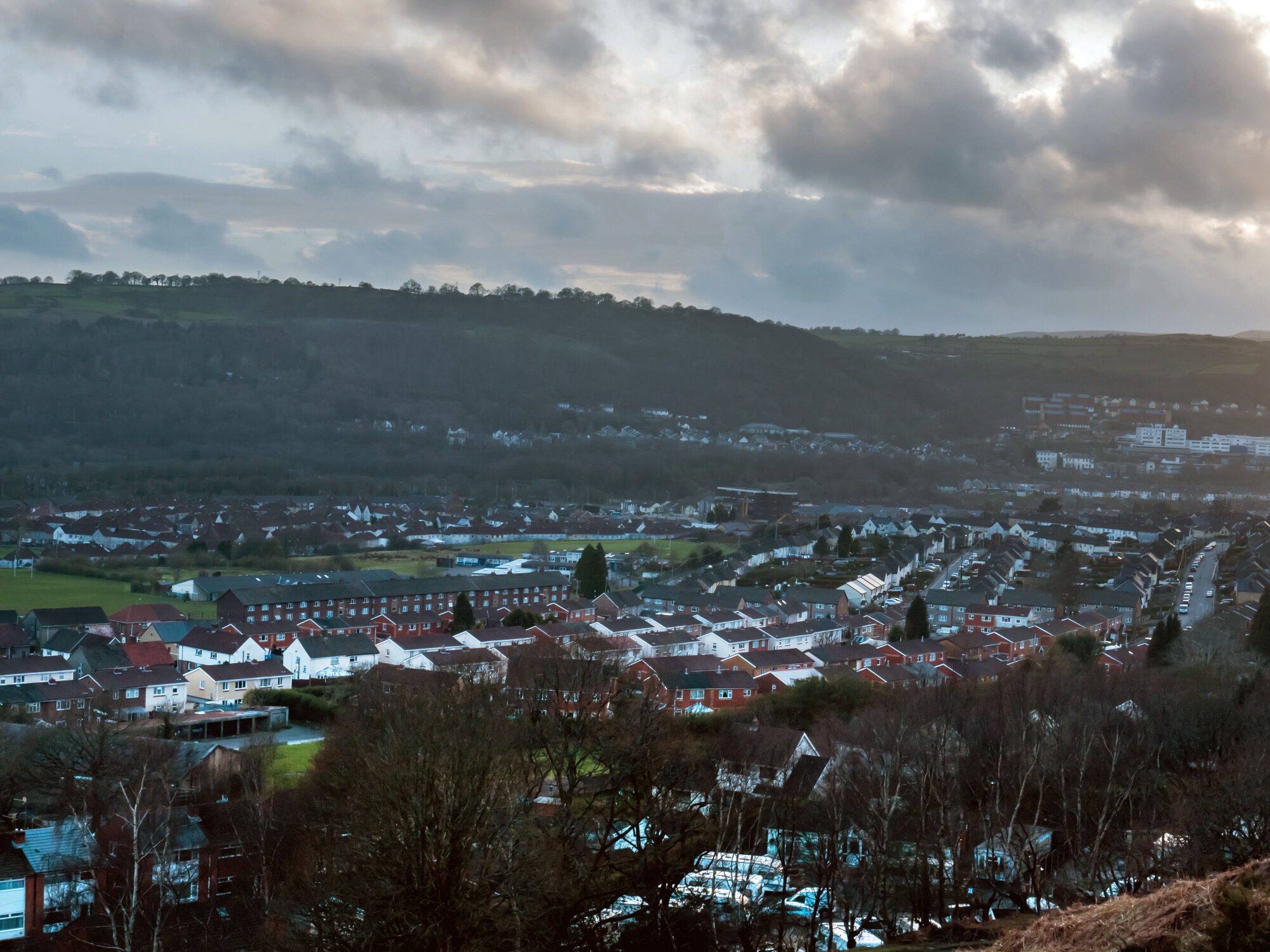
- A category C tip on the hillside on the eastern edge of Rhydyfelin, a few hundred metres from the middle of the village. It was inspected in February as part of this winter’s round of checks on C and D tips.
- Category A tips: one on the north side of the village, and two more across the river towards Pontypridd, near Birchley.
- A group of category B tips on Eglwysilan mountain above us, about two and a half kilometres away, just over the border in Caerphilly county. There’s another group of B tips on the hillside above Upper Boat, towards Taff’s Well.
- Category D tips a little further away: the nearest is about 2km off, over the top of the mountain on the Aber Valley side. There’s another near Senghenydd and one near Upper Church Village.
- Further out, there are category C tips near Maesycoed and Pantygraigwen in Pontypridd, and a category D tip near Trehafod.
Many of these don’t look like tips at all any more. Decades of grass, bracken and trees have grown over them, and plenty of people walk past one every day without knowing it’s there.
What do categories A, B, C and D mean?
This is the bit that gets lost on social media. The category isn’t a safety score. It reflects how much harm a tip could do if it ever moved, based on how big it is and what’s below it, such as homes, roads, railways and rivers. That decides how often it gets inspected.
- Category D: the highest rating. Inspected twice a year, over the winter and again in the summer.
- Category C: also higher risk. Inspected every winter.
- Category B: much less likely to affect anyone. Every B tip in Wales was inspected in 2024.
- Category A: the lowest risk. A two-year programme to inspect all of them began in April 2025, the first time most have been checked by inspectors.
- Category R: tips that have been removed, reshaped or built over. They’re not on the inspection programme.
So a category C tip on our doorstep isn’t a sign that anyone thinks it’s about to slip. The Welsh Government says plainly that a C or D rating doesn’t mean a tip is unsafe. It means it’s big enough, or close enough to people, to be worth watching closely. Ours is watched every winter, and it was last checked a few weeks ago.
Why it matters: Aberfan, Tylorstown and Cwmtillery
Nobody round here needs telling why people take coal tips seriously. On 21 October 1966, a colliery tip above Aberfan slid down onto Pantglas Junior School and the houses around it, killing 144 people, 116 of them children. It will be 60 years this October. Everything about how tips are managed in Wales today, including the new law, traces back to that morning.
The risk hasn’t gone away. On 16 February 2020, during Storm Dennis, part of the old Llanwonno tip above Tylorstown in the Rhondda Fach slipped down the valley side, across a footpath and into the river below. Nobody was hurt, but more than 60,000 tonnes of spoil have had to be moved since.
Then in November 2024, Storm Bert brought a landslide down from a tip above Cwmtillery, near Abertillery. Mud and water poured through the streets late on a Sunday night, and around 40 homes had to be evacuated.
What links both slips is water. Tips are made of loose waste, and when a storm dumps weeks’ worth of rain in a day and the old drains on a tip are blocked or broken, the water has nowhere to go. With wetter winters and stronger storms, that’s the worry for the decades ahead, and it’s why the drainage on higher-risk tips gets so much attention during inspections.
What’s being done about it?
The inspections are carried out for the Welsh Government by the Mining Remediation Authority, which used to be called the Coal Authority. The map is updated twice a year: in spring, after the winter checks on C and D tips, and in autumn, after the summer checks on D tips. This week’s spring update made a handful of changes across Rhondda Cynon Taf, such as one tip removed, two boundaries redrawn and two tips moved from B down to A, but none of them were near Rhydyfelin.
The bigger change is the law. The Disused Mine and Quarry Tips (Wales) Act 2025 was passed by the Senedd in July 2025 and became law in September, sealed by the First Minister at Big Pit in Blaenavon. It sets up a new body, the Disused Tips Authority for Wales, from 1 April 2027. It will keep a register of tips, monitor them, and make sure the higher-risk ones have proper management plans. It replaces laws written in the years after Aberfan, which were never designed for tips that have been abandoned for half a century.
Even so, nobody in government will promise it can never happen again. Speaking to Sky News last spring, Wales’s Deputy First Minister said it was difficult to guarantee that lives wouldn’t be lost in another tip disaster. Sky reported that £130 million had been spent on tip safety by then, while people living under some of the tips said it still wasn’t enough.
What to look out for, and who to call
If you walk on the hill above the village, you’re the best early warning there is. Things worth reporting include:
- new cracks in the ground, or ground that has slumped or bulged
- water coming out of the hillside where it didn’t before, or springs that have changed
- drains, ditches or culverts that are blocked or overflowing
- trees leaning at odd angles, or fences and walls that have shifted
Who to tell:
- If anyone is in danger, or ground is moving now: call 999.
- Worried about a tip: call the Mining Remediation Authority free on 0800 021 9230 or email [email protected].
- Rhondda Cynon Taf Council: 01443 425001 (Monday to Friday, 8.30am to 5pm), or the out-of-hours emergency line on 01443 425011.
How to check the coal tip map yourself
You can look up any tip on the Welsh Government’s disused coal tips map(opens in a new tab). Search for Rhydyfelin, zoom in, and click a shaded area to see its category and when it was last inspected. Every tip has its own reference number, starting with a T. The Welsh Government’s find disused coal tips(opens in a new tab) page explains the categories and answers the common questions.
You might wonder why we haven’t put a screenshot of the map here. The data is licensed for personal viewing only, so it can’t be copied onto other websites. Have a look for yourself instead. It takes two minutes.
The tips are part of the same story as the terraces, the chapels and the railway lines: the coal that built this valley. You can read more about it in our guide to Rhydyfelin’s history. They’re not going anywhere soon, but with regular inspections, a new law and a new authority on the way, they’re better watched now than at any time since 1966. That’s worth knowing the next time somebody shares a scary post about “the tip above the village”.